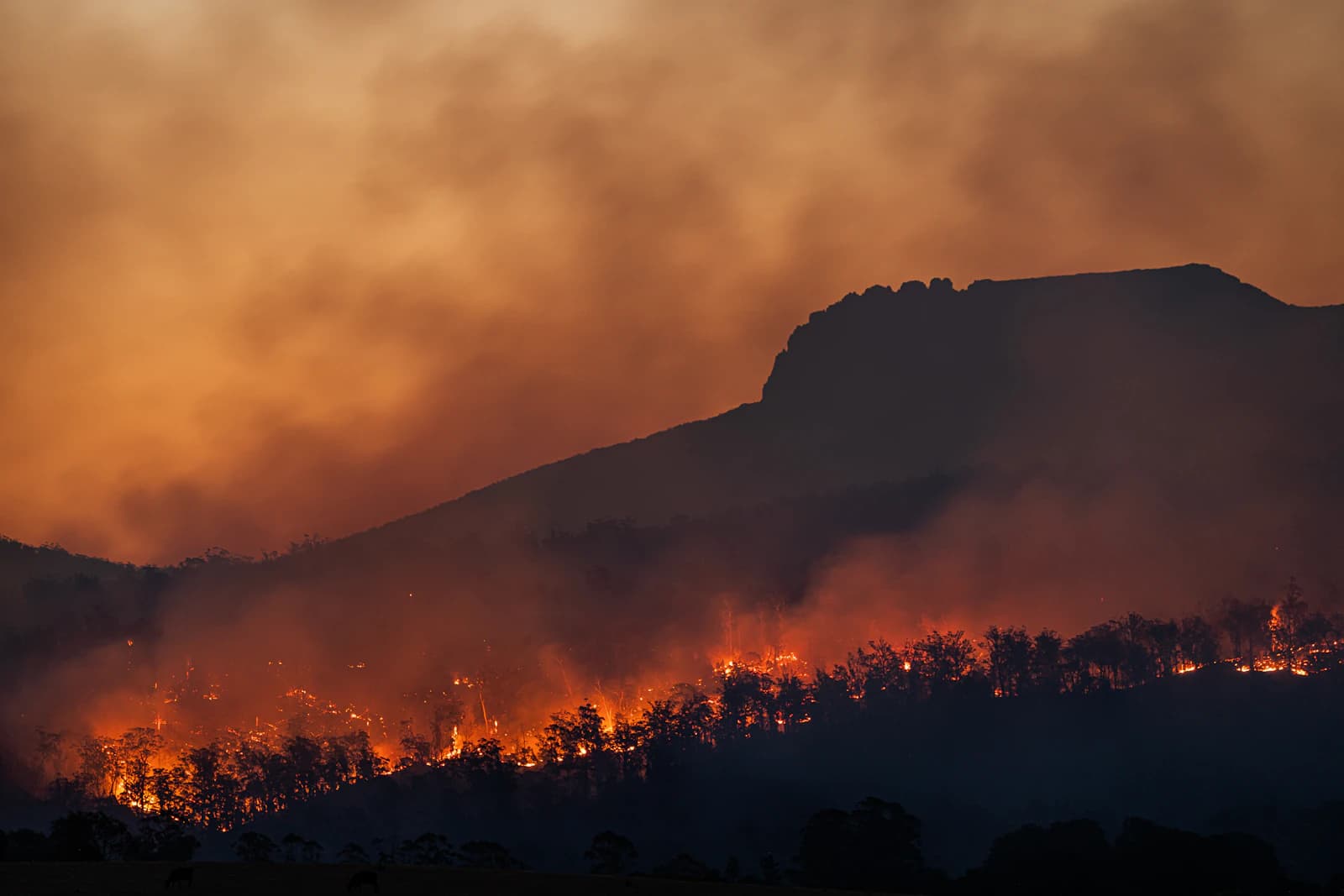
A hobbyist perched on a ridge above a fast-moving wildfire in July 2026 launched a drone to capture dramatic footage for social media, unaware that a Temporary Flight Restriction already covered the airspace above the fire. Within minutes, air attack coordinators spotted the drone on their scopes and grounded every helicopter and air tanker working the fire — not as a precaution, but because federal rules and the incident commander's own safety protocol require it the moment an unauthorized aircraft is detected inside the TFR. The pilot later posted the video online, which is exactly how investigators identified him and opened a federal case. It's one of the clearest illustrations of how a single decision made several thousand feet in the air can shut down an entire firefighting operation on the ground.
The TFR isn't a discretionary courtesy — it's issued under 14 CFR 91.137
When a wildfire reaches the scale that aircraft are supporting suppression, the FAA has explicit authority under 14 CFR 91.137 to establish a Temporary Flight Restriction over the fire area, and it does so almost automatically once an incident commander requests one. The restriction bars all aircraft — manned or unmanned — from the designated column of airspace unless specifically authorized by the agency running air operations, and that authorization goes to firefighting assets, not to a photographer or a curious bystander who thinks their altitude or distance from the flames looks safe. Because these TFRs can be issued or modified within hours of a fire growing, a pilot who checked airspace that morning and saw nothing restricted cannot assume the same is true that afternoon.
Why one drone grounds every aircraft on the fire
Air tankers and firefighting helicopters typically work at only a few hundred feet above the terrain — close to the same altitude band unauthorized drones are flown at — which turns a sighting into an immediate midair-collision risk rather than a hypothetical one. Crews cannot visually distinguish a hobby drone from something larger at a distance, and a drone that loses its link and falls can strike an aircraft or the ground crews and civilians below. That's the entire logic behind the "If You Fly, We Can't Fly" campaign the Forest Service and FAA have run since 2014: it isn't a metaphor, it's the literal procedure — dispatch grounds the whole fleet the moment a UAS is confirmed in the area, because waiting for it to clear is faster and safer than trying to identify or track it. Officials have documented at least 17 unauthorized drone incidents that shut down aerial operations in 2018, and roughly 20 more across seven states in 2019 — and those are only the reported cases, since there's no centralized system that catches every incursion.
The penalties have gotten considerably heavier
Interfering with wildfire suppression by drone is its own federal offense, not just a generic airspace violation: civil penalties that used to top out at $20,000 were raised to as much as $75,000 under recent FAA reauthorization, and criminal charges carrying up to two years in prison are squarely on the table now, not a theoretical threat. In January 2025, a Culver City man's drone collided with a Canadian "Super Scooper" water bomber working the Palisades Fire in Los Angeles, punching a fist-sized hole in its wing and grounding the aircraft for five days; he pleaded guilty and agreed to pay over $65,000 in restitution plus 150 hours of community service. In July 2026, a drone flown into the TFR over Colorado's Aspen Acres Fire — a blaze that had already burned more than 100,000 acres and destroyed over 850 structures in terrain that depended heavily on helicopter support — forced a full grounding of aerial operations, and the pilot now faces federal charges after posting the flight to social media.
A clean B4UFLY check or a Part 107 certificate doesn't override this
Wildfire TFRs stack on top of every other airspace rule rather than replacing them, so a Part 107 certificate, a LAANC authorization, or an app that showed no restriction that morning tells you nothing about a TFR issued an hour ago over a fire that started overnight. The safer assumption near any active or recently reported wildfire is to treat the area as restricted before an official TFR even appears — fire behavior and the airspace response to it can outpace whatever map or app a pilot last checked, and counter-drone teams, including FBI task forces deployed during 2026's Spokane-area fires, are now actively used to detect and force down unauthorized aircraft in these zones.
Practical checklist
- Before flying anywhere near visible smoke or a reported wildfire, check the FAA's TFR list (tfr.faa.gov) and B4UFLY immediately before launch, not hours earlier — wildfire TFRs can appear with almost no notice.
- Assume restricted airspace even if no TFR is posted yet; fire growth and the aviation response to it can outrun any map you last checked.
- Never treat altitude or distance from visible flames as a safety margin — firefighting aircraft operate at only a few hundred feet and can appear with very little warning.
- Remember that a Part 107 certificate or a clean LAANC/B4UFLY check does not authorize flight inside a wildfire TFR — only the incident's air operations can grant that.
- If you already launched and a TFR is announced or firefighting aircraft appear, land immediately rather than trying to finish the shot.
- This site's weather and airspace layers are planning references only, not a real-time TFR feed; always confirm current wildfire TFRs directly through the FAA before flying.