FlyDroneMap — Live Drone Weather & Kp Index
Search any location for live wind, gusts, visibility, the latest Kp index, and (US) FAA altitude ceilings — everything you need to plan a safer drone flight.

Gear Recommendations
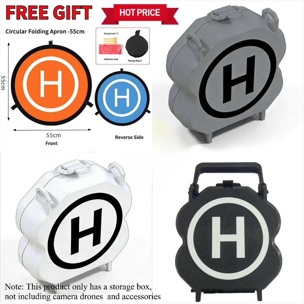
Multi-functional Carrying Case for DJI Neo 2 with TX Air Unit: Holds Drone, 2 Batteries & Cables, Shockproof
USD 15.64
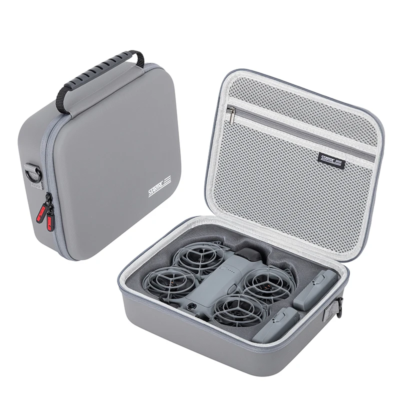
STARTRC Neo 2 Portable PU Shoulder Bag Handbag for DJI Neo 2 Drone and Battery Accessories Carrying Shockproof Case
USD 25.55
As an affiliate, we may earn a commission from qualifying purchases made through these links, at no extra cost to you.
How to Use FlyDroneMap
- 1.Search for a city, airport, or landmark, or tap "Use my location" to check conditions right where you are.
- 2.Review live wind speed, wind gusts, and visibility — key factors for whether it's safe to fly your specific drone model.
- 3.Check the planetary Kp index to see whether geomagnetic activity might affect your GPS lock or compass heading.
- 4.In the US, see the FAA UAS Facility Map altitude ceiling for the area — then confirm authorization through LAANC or FAADroneZone before you fly.
Explore the Guides
Practical guides on flight safety, weather judgment, and drone regulations.

Aurora Season and High-Latitude Drone Navigation Anomalies
Why GPS and compass behavior gets shakier the further north (or south) you fly, and what changes once the aurora is actually overhead.
2 min read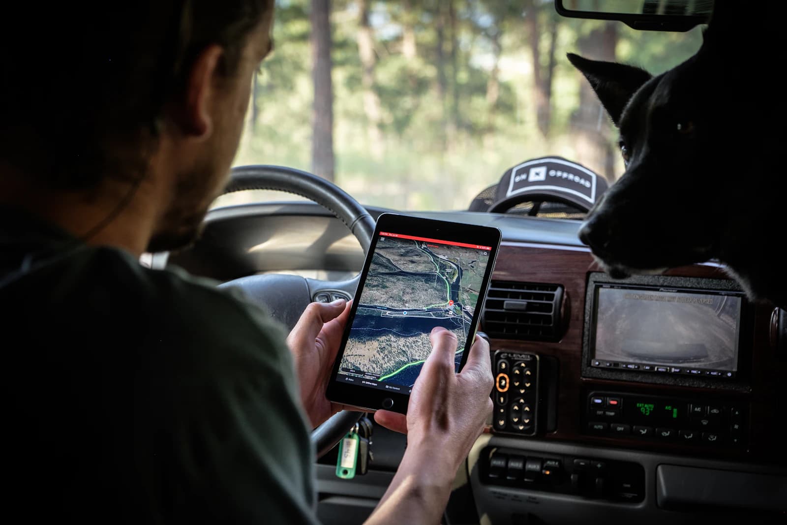
GPS Jamming and Spoofing Explained for Drone Pilots
The difference between a GPS signal that's blocked and one that's being faked, and why treating them the same way can send your drone somewhere you never told it to go.
3 min read
What Weather Data to Check Before Flying a Drone
Behind a weather app's single word — 'clear' — sit half a dozen separate numbers that actually decide whether a flight is safe: wind and gusts, precipitation, visibility, temperature, dew point, cloud ceiling, and space weather. A practical checklist for what to check, against which thresholds, and in what order.
4 min read