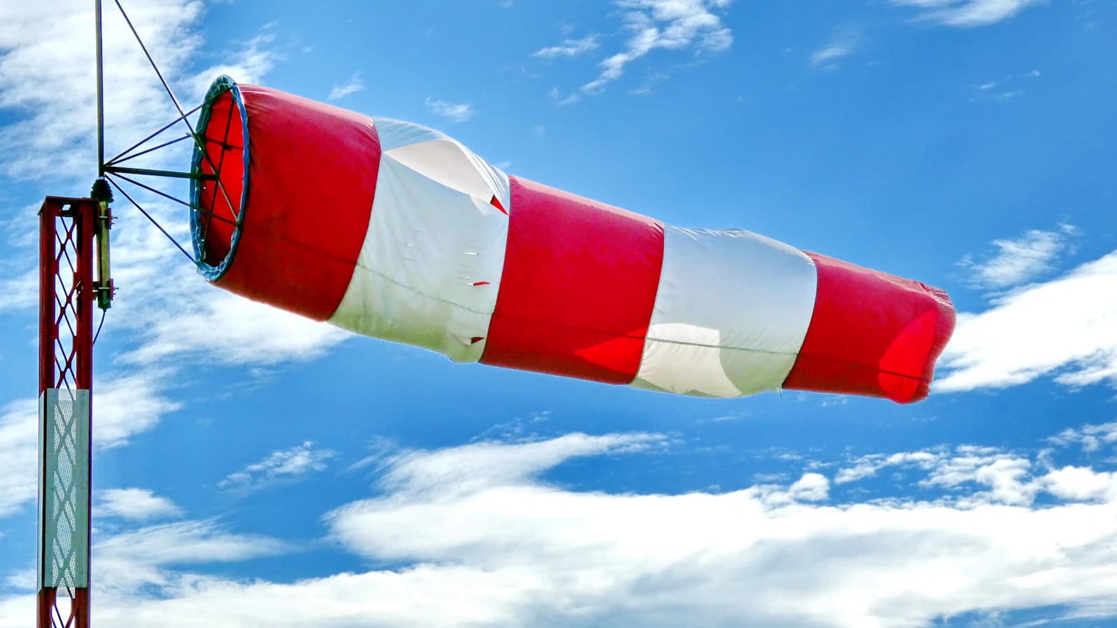
Checking a weather app, seeing 8 km/h, and launching with confidence answers the wrong question. What matters isn't how windy it is at your feet — it's how windy it will be once the aircraft reaches 120m (400 ft), and those two numbers can differ by a wide margin. That gap is what wind shear describes, and it's one of the more common reasons a flight that looked calm on the ground turns into an unexpected fight for control once the drone climbs.
Why wind gets stronger — and shiftier — with altitude
Near the ground, friction from buildings, trees, and uneven terrain constantly saps kinetic energy out of moving air, which is why surface wind readings are almost always lower than the true wind a few hundred meters up. Over open terrain it's common for the wind at 120m to run 1.4-1.6x faster than at the standard 10m instrument height most weather stations and apps report from; over a city or forest edge, the gap can be even larger because the ground-level drag is stronger. The practical problem is that the number most pilots check before takeoff describes exactly the layer that least resembles what the aircraft will fly through near its legal altitude ceiling.
The nocturnal jet: the case that fools pilots who fly early
One of the most common ways this catches pilots off guard has a specific mechanism. Overnight, the ground cools faster than the air above it, and that cooling decouples the thin surface layer from the wind higher up — the surface air stalls out while a fast-moving ribbon of air 100-300m up keeps moving, sometimes even accelerating. The result: a 6 a.m. launch with a ground reading of 5-8 km/h can meet a 30+ km/h layer once the aircraft climbs into that ribbon, producing sudden drift, a tilted horizon in footage, and faster-than-expected battery drain with no warning from the pre-flight number. Pilots who deliberately choose early morning because it "looks calm" are, ironically, the ones most likely to fly straight into this.
Direction rotates too, not just speed
Because friction near the ground doesn't just slow wind, it also drags on its direction, the wind aloft can blow 20-40 degrees off from what a ground-level flag or anemometer suggests. For a return-to-home path, a loitering hold, or a slow panning shot planned around the surface wind direction, that rotation can turn a maneuver that looked wind-neutral on paper into one flown partly crosswind or downwind without the pilot ever changing the flight plan.
Buildings, cliffs, and ridgelines add their own shear
Terrain features create a second, independent source of shear on top of the atmosphere's natural profile. Wind climbing the face of a cliff or a tall building often accelerates sharply right at the roofline or ridge crest, then breaks into a turbulent, rotor-like pocket just beyond or downwind of the edge — a pattern that has nothing to do with the smooth altitude-based gradient described above and can't be predicted from a ground-level reading taken at the base. A common mistake is judging conditions at a cliff-top or rooftop launch site entirely from how it feels standing at the bottom, when the wind at the edge itself is shaped by the terrain, not the open-air profile.
How to check before you commit to altitude
- Climb in stages rather than straight to your working altitude: hover and hold at 10m, then 30-50m, watching tilt angle and drift at each step so you notice exactly where the aircraft's behavior changes.
- When a forecast source offers wind at multiple altitude layers rather than a single surface number, check it — this matters most before early-morning and evening flights, when the nocturnal jet effect described above is strongest.
- Treat a suspiciously calm early-morning or evening reading with more caution, not less; that stillness at ground level is exactly when the gap to altitude tends to be largest.
- Near cliffs, ridgelines, or tall buildings, expect a turbulent, unpredictable vertical wind profile rather than a smooth one, and add extra margin beyond what the ground-level reading suggests.
- Watch live telemetry — tilt angle and power draw — as the aircraft climbs, since that's the only reading that reflects the actual air the drone is in at that moment, rather than a forecast or a ground-level instrument.